From Raw Imagery to Actionable Intelligence

Our End-to-End Region Monitoring Process

We apply a structured process to transform multi-modal sensor data, including SAR, EO, IR, OPIR, sonar, and other sources, into validated, actionable intelligence.
This process spans data acquisition through deployment and sustained operations, and can be delivered end-to-end or applied to specific stages based on your operational needs, across both classified and unclassified workflows.
01

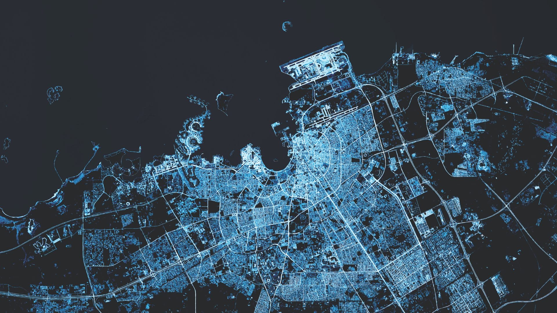
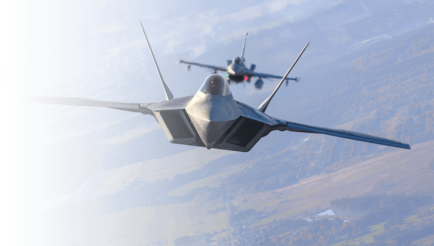
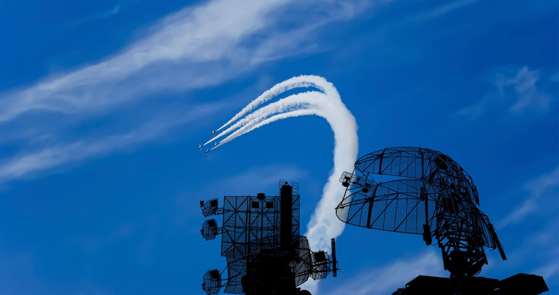
Dataset Analysis and Production

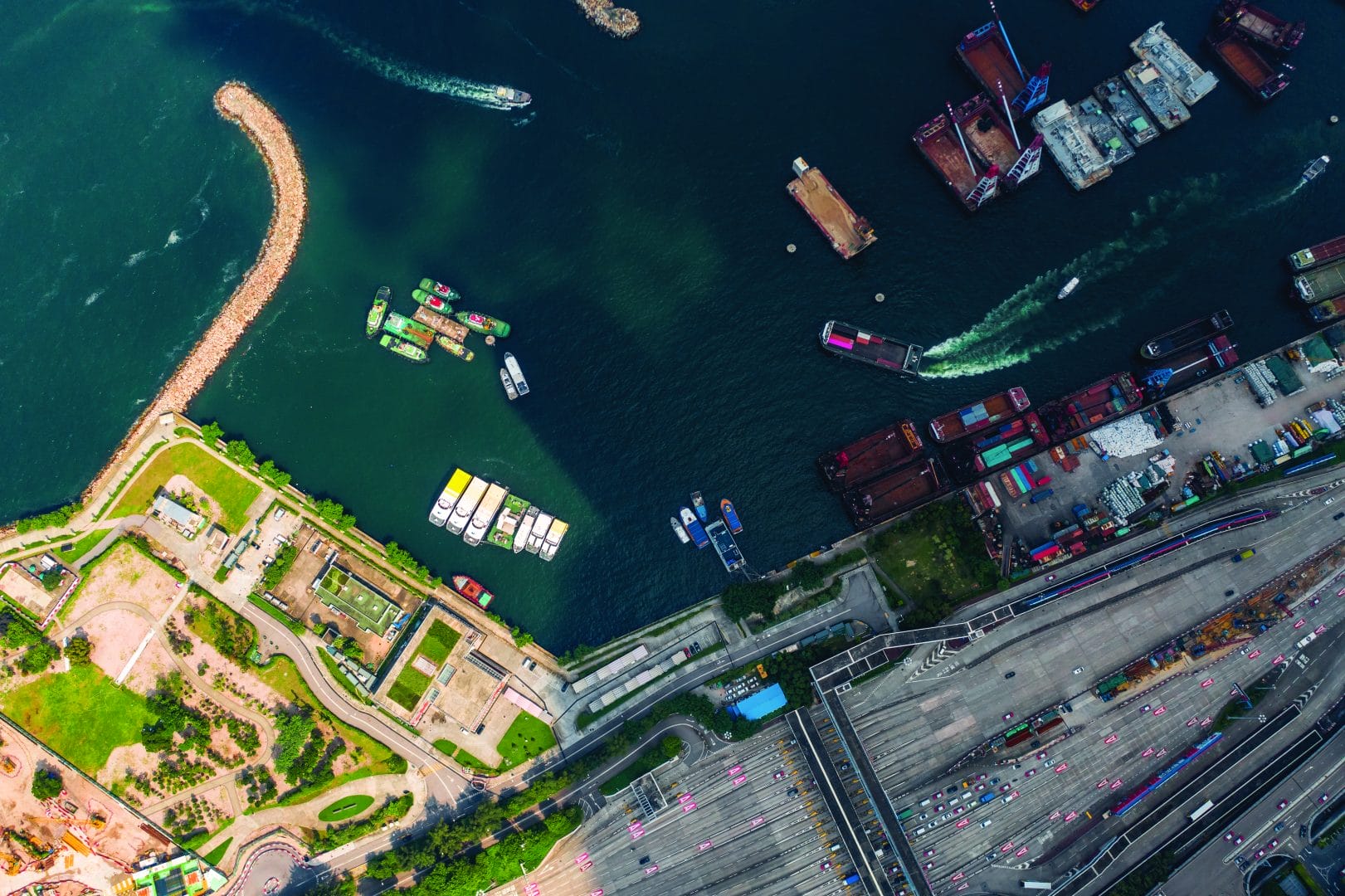
We begin by acquiring and curating mission-relevant data to establish a representative baseline. Analyst-driven workflows, rigorous QA/QC, machine-assisted labeling, and synthetic data generation produce high-quality datasets that capture real operating conditions, edge cases, and variability across the mission space.
02

AI Model Development

We develop models using domain-adapted techniques and low-data approaches, designed to perform reliably across sensor modalities and operational environments. Each model is built to meet mission requirements; not generic benchmarks. When those requirements are better addressed with a traditional algorithmic approach, we recommend and implement that instead.
03

Testing and Evaluation

Validation occurs throughout development, not just at the end. We evaluate performance against mission-relevant scenarios using standardized metrics, ensuring models are calibrated, traceable, and reliable, even in imperfect or data-limited conditions.
04

Deployment and Integration

We deploy solutions into both classified and unclassified environments, integrating with existing systems, workflows, and infrastructure. Our software is designed to operate across a range of platforms, from high-compute server environments to resource-constrained edge systems such as airborne or remote assets.
05

Monitoring and Explainability

Once deployed, systems are continuously monitored to detect data shifts and performance degradation. Built-in diagnostics and explainability capabilities enable rapid issue identification, support ongoing validation, and ensure sustained performance as conditions evolve.
The Etegent Advantage

Real-World Region Monitoring Benefits

Detect, track, and understand activity across geographic areas with speed and accuracy.
Rapid, Data-Efficient Model Development
Customization & Scalability Interpretability and Trust
Compatible Systems
Built for Multi-Modal Intelligence

We support EO, SAR, MSI, IR, and multi-modal sensor data, processing large-scale geospatial imagery to generate analysis products and intelligence outputs without platform lock-in.

  • aperture icon in white.
    Synthetic Aperture Radar
  • radar icon in white.
    Overhead Persistent Infrared
  • Electro-Optical
  • Multi/Hyperspectral and Infrared
  • Sonar

Frequently Asked Questions

Find clear answers on our AI solutions, process, and deployment approach.
What is region monitoring and how does it work?

Region monitoring analyzes large-scale geospatial data to identify objects, patterns, and anomalies across land, sea, and space. Etegent connects each stage, from data analysis through deployment and monitoring, into a unified process.

This transforms raw imagery into validated intelligence products that reduce time-to-insight and support faster, validated decisions in operational environments.

How quickly can region monitoring capabilities be deployed?

In many cases, we deliver operational region monitoring capabilities in weeks, not months.

While exact timelines depend on data availability and readiness, Etegent’s end-to-end pipeline accelerates delivery through efficient data workflows, low-data model development, and streamlined deployment.

As a result, we reduce time-to-insight while maintaining the validation and readiness required for operational use, including deployment in classified, air-gapped, and low-bandwidth environments.

What types of data are used in region monitoring?

Region monitoring integrates multiple sensor modalities, including SAR, EO, IR, OPIR, sonar, and other geospatial data sources.

By fusing these modalities, we leverage complementary information not available from any single source, such as sensing through cloud cover, capturing non-visible wavelengths, or detecting signals under degraded conditions. This enables more reliable detection, classification, and analysis across diverse operational environments.

What problems does region monitoring solve?

Modern operations rely on multiple data sources and manual analysis. This creates complex, time-intensive workflows that are difficult to scale.

End-to-end region monitoring streamlines this process by accelerating analysis and improving operational tempo, while increasing accuracy and reliability. It enables consistent detection and analysis of vehicle movement, aircraft behavior, maritime activity, and missile events across large geospatial areas.

What makes end-to-end region monitoring different from traditional approaches?

Traditional geospatial analysis workflows are often slow, manual, and fragmented, with vendors delivering isolated pieces of the process rather than an integrated solution. End-to-end region monitoring connects these steps into a unified, mission-aligned process.

By integrating data, model development, evaluation, and deployment, it enables faster delivery of analysis products, more predictable system behavior, and outputs that align directly with operational workflows.

This includes classified and edge deployment environments.

Can end-to-end region monitoring work with limited or imperfect data?

Yes. End-to-end region monitoring is designed to perform even when data is limited or incomplete.

Etegent combines low-data (low shot, few shot), synthetic data generation, and evaluation methods that account for imperfect ground truth. This allows systems to be developed, validated, and deployed quickly for immediate operational use.

How does Etegent ensure reliability and trust in its outputs?

Etegent’s end-to-end region monitoring pipeline is built around validation, monitoring, and transparency. Models are evaluated using mission-relevant metrics and continuously monitored for performance changes, with explainability tools that help users understand, verify, and act on results with confidence.

HomePage_Challenge_RegionMonitoring (1)
region map decor image.

Ready To Accelerate Your ISR Workflow?

Let’s talk about your mission and how end-to-end region monitoring can help overcome them.